Davis Burial GroundAddressDrift Road, partially on 1612BWestport Massachusetts
Supplementary Information0 Marked Stones in this Cemetery There is no G. R. number for this cemetery. This is a remote, difficult to find cemetery located on private property. The cemetery has not been maintained and all stones are unmarked. An error was found that what was formerly designated as WSP 878 is actually part of WSP 875. A new Form E was registered with the Mass Historical Commission which combined the two WSP numbers, eliminating WSP 878 and making the new one WSP 875. This property has been cleared to some extent and the burial ground is on 5 separately owned properties. Map 57, lots 55,56,57,57D,59,61-59B.
Map DetailsGPS North: 41.54176 Photograph of cemetery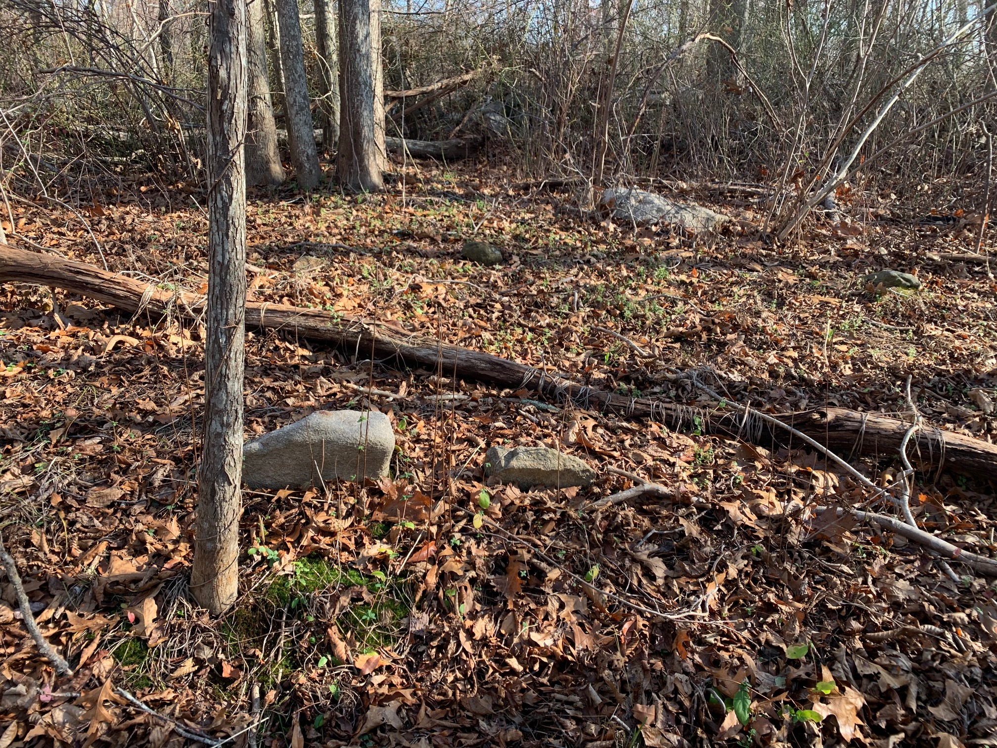 Full size Image
|
Interred Records - 0
There are no Interred records for this cemetery yet.
|