UNKNOWNAddress601 Old Harbor RoadWestport Massachusetts
Supplementary Information0 Marked Stones in this Cemetery There is no G. R. number for this cemetery. RESEARCH NOTES ON WESTPORT CEMETERY WSP 8001 Sources: 1. Research paper entitled “An Historical Sketch of Coxet and The Richmond Family” by Henry B. Worth dated 1907. (Document – courtesy of Richard G. Manchester which includes photo of Leland W. Manchester residence, Richard’s grandfather). 2. Westport map of 1885 identifies the triangular tract of land mentioned below. 3. Westport map of 1871 shows the location and name “Old Indian Burying Ground” close to Simmons Brook, and the A. Manchester property. The following is an abstract from Henry Worth’s document: The triangular tract of land from Adamsville, RI, south to Buzzards Bay and bordering Little Compton, RI, to the west and the west branch of the Westport River to the east was called Seconet. In 1741, this land was annexed to MA. The Devol Pond area in the southeast part of the triangle became known as Coxet after the Indian name Cockeset. Before 1700 the area was the home of the Seconet Indian tribe that aided the English in King Philip’s war. Henry Worth purports that the Native American who shot King Philip lived in this region to the north of the Abraham Manchester farm. His name was Alderman and he was a Seconet Indian. Worth makes frequent reference to the Seconet tribe who lived in this area. In 1773, Edward and Perez Richmond deeded ninety-five acres north of Abraham Manchester’s farm and west of Simmons Brook to Pardon Brownell. In this deed there were two exceptions the first of which was “1. The Indian Burial place.” identified on the Westport map of 1871 as the “Old Indian Burying Ground”. Later deeds do not mention the burial ground. On pages 27 and 28 of Worth’s research document he says: “Edward and Perez Richmond, in the deed to Pardon Brownell, reserved the old Indian Burial Ground on the north side of the farm and their descendants are still owners of that lot. Possibly this arrangement was made to fulfill a promise given to the Redmen when it was evident that their race was doomed to disappear from the land and they requested some friend among the English to secure and preserve their last resting place. So this Indian Cemetery remains marked and respected, one of the very few whose tenure is fixed and established by the records.” Notes by Paul Pannoni, March 14, 2008.
Map DetailsGPS North: 41.51897 Photograph of cemetery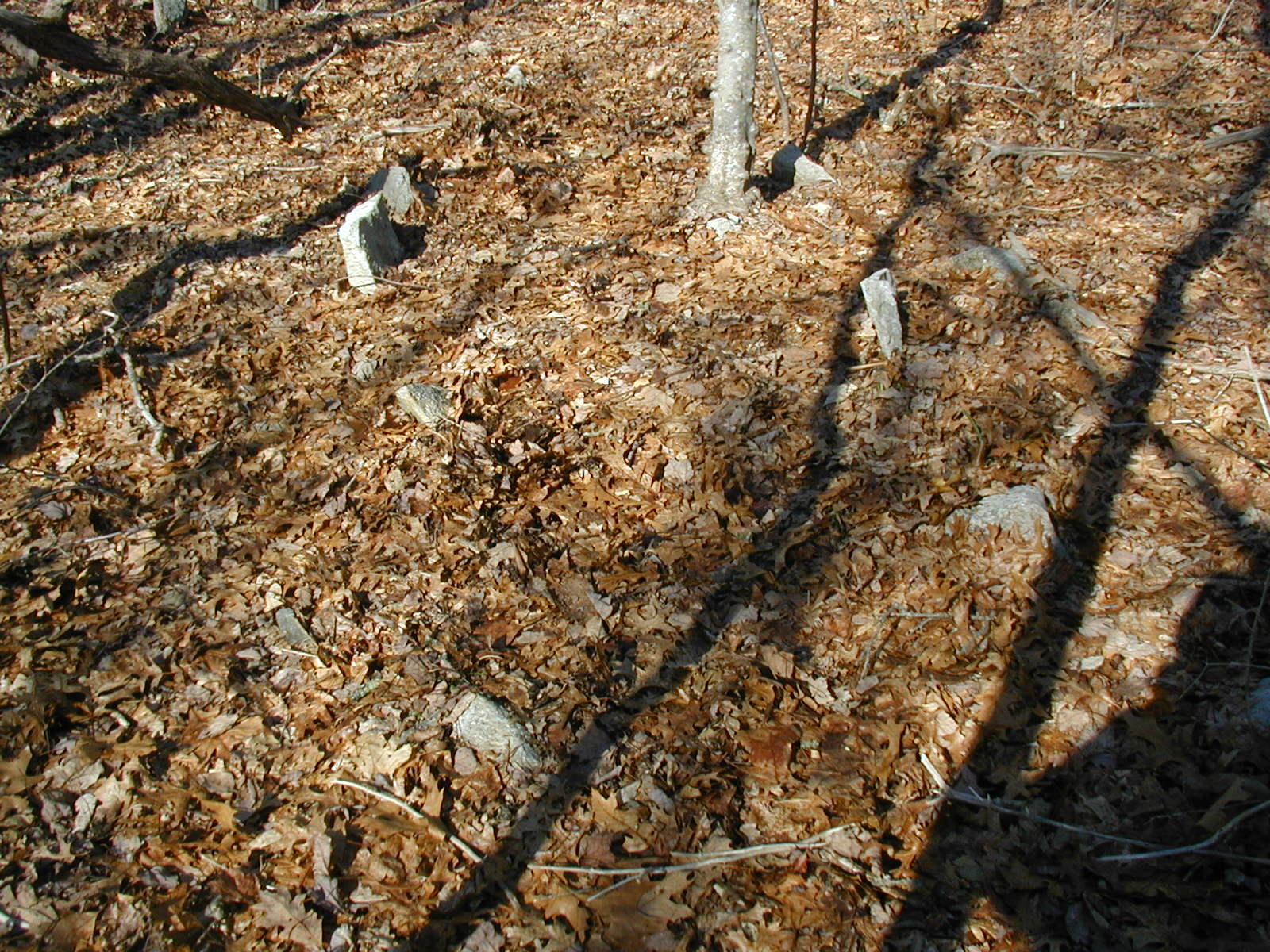 Full size Image
|
Interred Records - 0
There are no Interred records for this cemetery yet.
|